With a short window for an overnight adventure, Marty and I headed into the Brindabella Mountains near Canberra for an overnight hiking trip, including a summit of Mt Gingera.
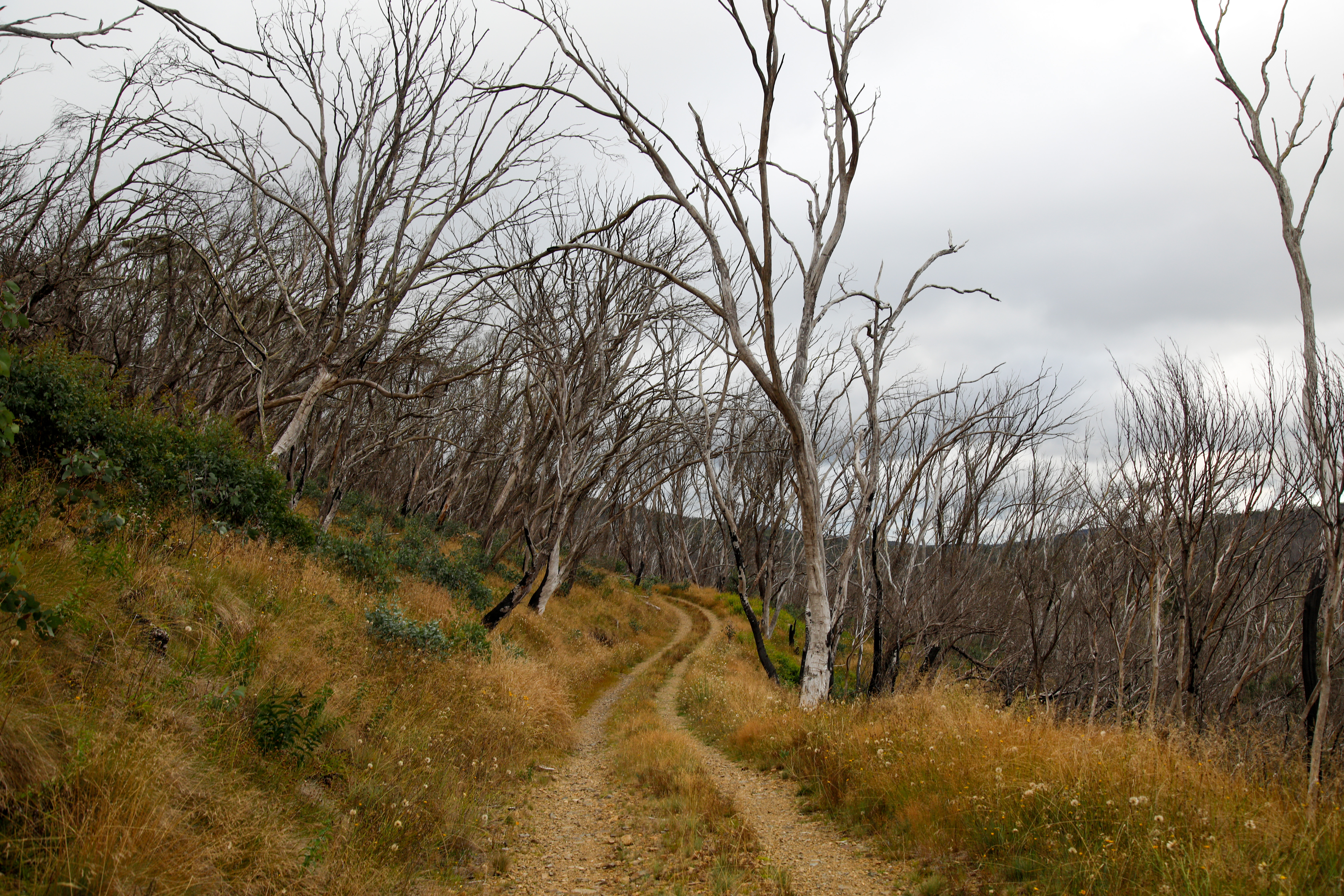
Parking on Mt Franklin Road, it was about 6km hiking to the summit of Mt Gingera. The trail followed the fire road for the first 5km, before turning onto the summit trail and for the final 1km push to the top. Mt Gingera summit offers incredible views back towards Canberra and south towards Long Plain, part of Kosciuszko National Park.
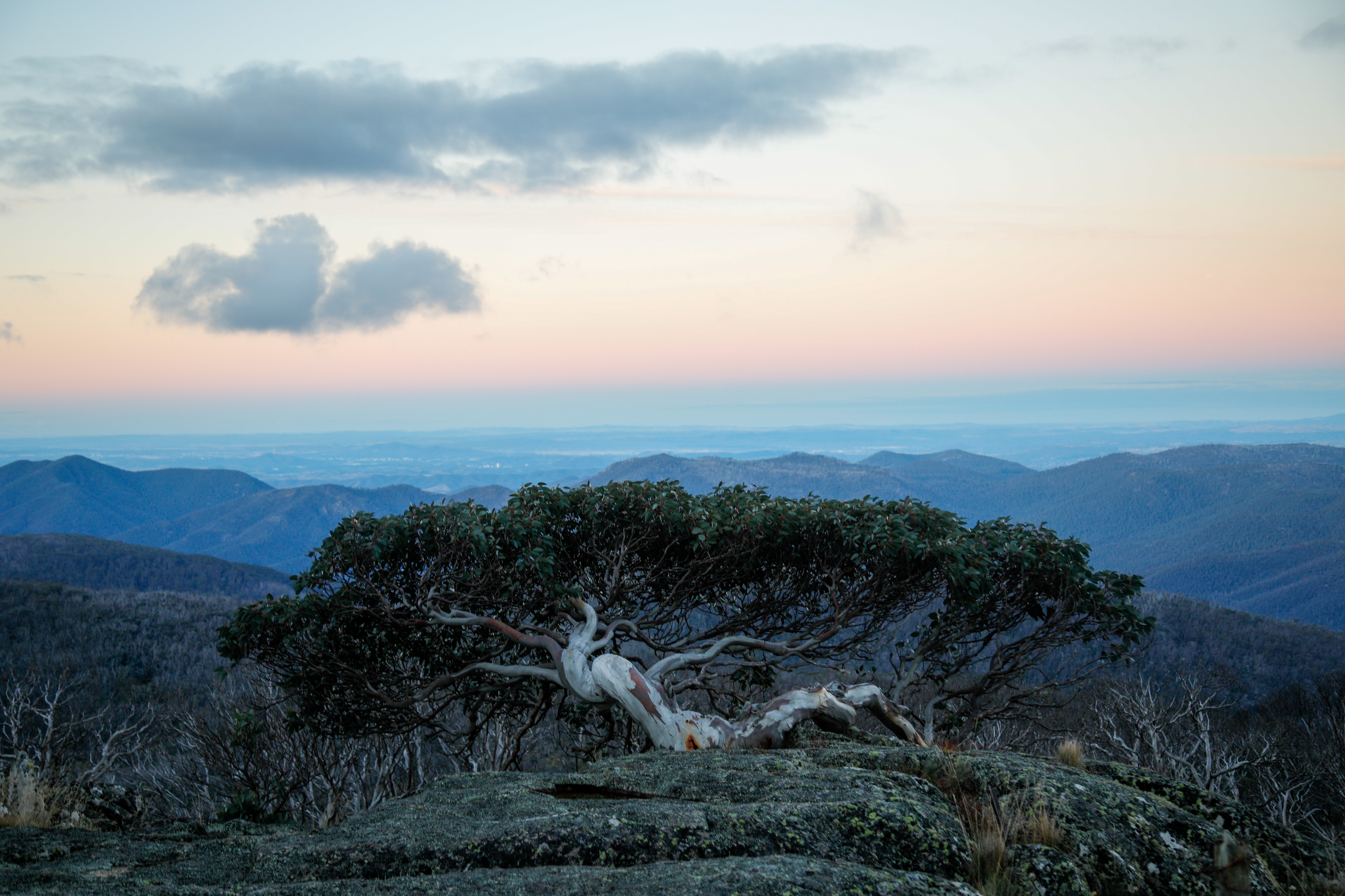
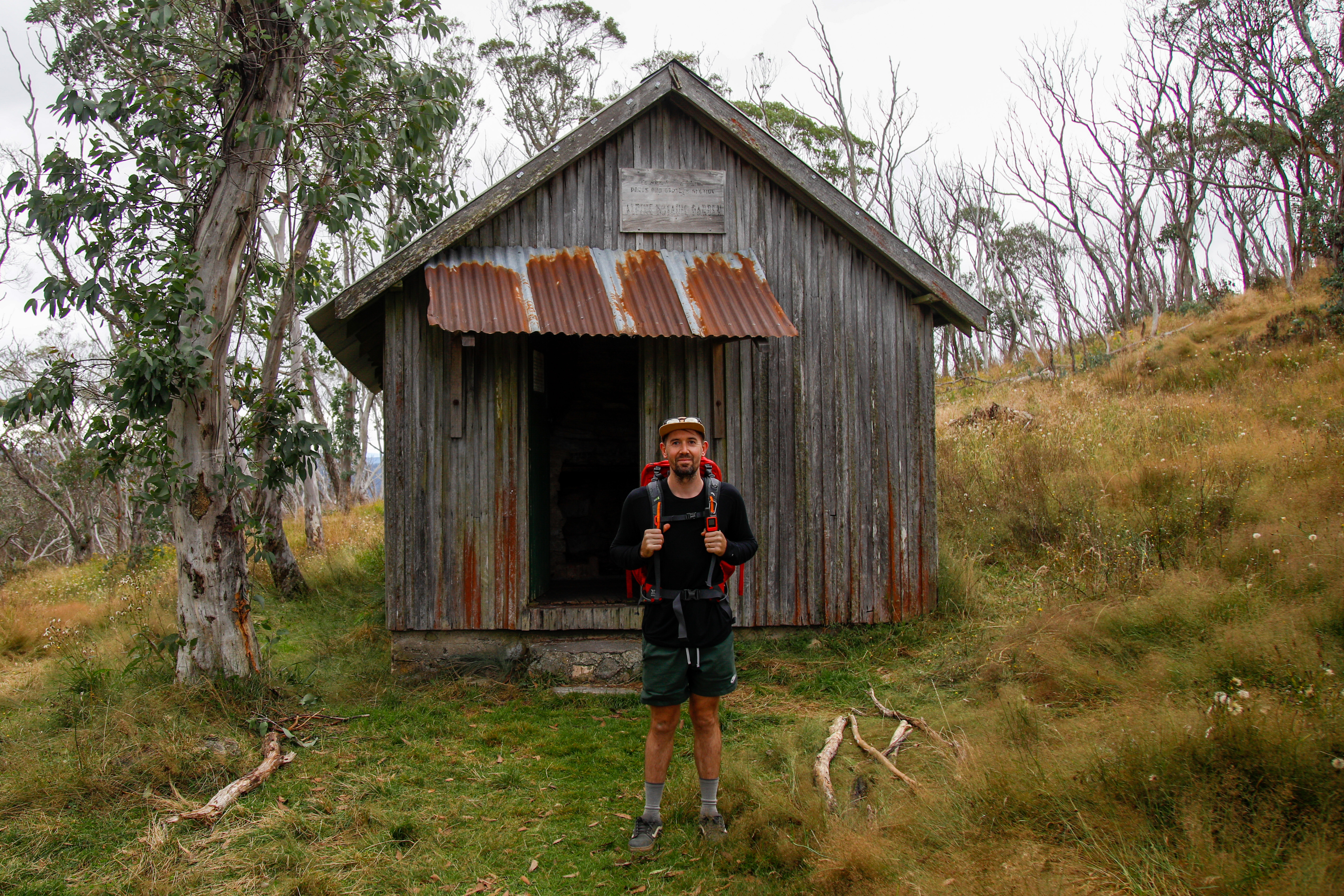
After soaking in the views and searching for the famous ‘Gingera Gum Tree’ (hot tip: it’s to the east of the summit) we descended in near darkness and hiked the 2km back to Pryors Hut, where we camped for the night. The weather was pretty wild and we were thankful for our waterproof bivvys and warm sleeping bags – although perhaps a tent might have been even better.
Waking the next morning, we breakfasted and hiked back to the car to complete our sub-24hour microadventure into the mountains.
Mt Gingera summit hiking route:
https://www.komoot.com/tour/1065997393?ref=itd
Mt Ginger Trail Notes
- Distance: 14km return
- Duration: 1-2 days
- Location: Trail head is around 1 hour 45 minutes from Canberra CBD